Can filling in climate-data gaps lead to better crop yields and human health?

Understanding natural climate cycles can help predict everything from crop yield to water supplies to health hazards like malaria. But many African countries lack reliable climate records, making accurate weather forecasts a challenge. Columbia researchers are combining weather-station data in Africa with satellite measurements beamed from space to fill in these data gaps and improve predictions to combat drought, heat waves, and other extreme weather events.
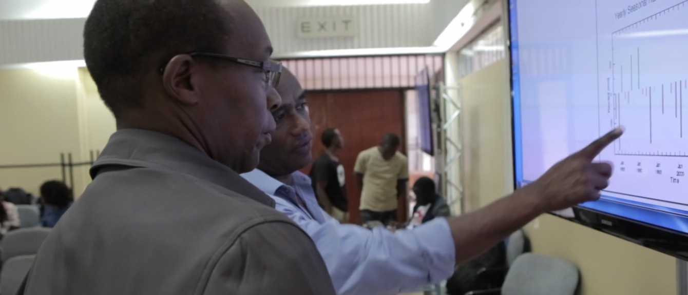
Tufa Dinku, research scientist at Columbia's International Research Institute for Climate and Society, is working with the Enhancing National Climate Services project (ENACTS) to integrate satellite data and climate model outputs with weather-station data from national meteorological services. ENACTS serves nine countries in Africa. Some of these countries have historical data but haven’t digitized yet or made it accessible beyond national meteorological agencies. Wars and civil conflict have also left large gaps in data records. The Rwandan genocide, for example, led to the loss of 15 years of data.
The new datasets are publicly available through the IRI’s massive Data Library. The Library receives more than 3 million page views a year from users in dozens of countries. Its comprehensive data has allowed researchers to link rising temperatures in a country’s highlands to increased malaria risks. In Zambia, insurance companies have used this information to develop more accurate index-insurance policies to protect small farmers against drought-related crop losses.
"I worked as a meteorologist in Ethiopia for more than ten years before coming to the United States," said Dinku. "I experienced the frustration of not having enough data or the right data to make the predictions that could help people. Being able to go back and contribute something of value to Ethiopia, my home country where we first launched ENACTS, gives me great satisfaction." Learn more.
Make Your Commitment Today


